fbpx

Jack Frost Has Arrived

Jack Frost Has Arrived

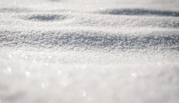
With Jack Frost knocking again, we start another day of winter weather here in our area an beyond. Most of Wisconsin is dealing with some kind of a punch from Mother Nature. We’ll take a look at the Badger State.

Here locally, the worst of Eau Claire’s winter storm looks to be in the rearview mirror.

The National Weather Service is allowing the Winter Storm Warning for the Chippewa Valley to expire at noon today. Forecasters say western Wisconsin could see another five to eight inches of snow overnight. In all the Weather Service expects Eau Claire to see 18 inches of snow by the time the winter storm is done. You can follow all of the latest weather updates WITH A CLICK HERE TO OUR PARTNERS AT WEAU 13 NEWS.

Many schools have planned for a virtual learning day, those updates are here.

In another part of our state, most of southeast Wisconsin’s Winter Storm Warning has been canceled.

The National Weather Service overnight pulled the plug on the storm warning for Milwaukee, Waukesha, and counties to the south. Folks in and around Milwaukee remain under a Winter Weather Advisory until 9 a.m. today, but forecasters say the worst of the winter storm has passed. The Weather Service says we could see another inch of sleet today, and perhaps a light glaze of ice. There is a Winter Storm Warning for folks north of Milwaukee til noon. That warning stretches from Washington and Ozaukee counties to the north. Folks there could see another two inches of new snow.

Meanwhile,  it will be a busy day for power crews in southeast Wisconsin. We Energies says teams will be back out today to restore power to people who lost their electricity in yesterday’s snow. As of 2 a.m., WE Energies says 35 thousand people remained in the dark. Most of them are south of Milwaukee, particularly near Racine, Burlington, and Kenosha. Those were the areas that saw most of yesterday’s ice.

Leave a Reply

Your email address will not be published. Required fields are marked *