We’re a little past soggy in some areas.

There are some spots in Eau Claire where Saturday’s rains are still sitting in people’s backyards. Parts of the city were flooded by heavy rain over the weekend. There are no reports of any major damage or injuries, but the downpour turned some people’s backyards into waterways. Forecasters say Eau Claire officially saw just over four inches of rain on Saturday, though some neighborhoods likely saw more. The Red Cross says it is helping families who were hardest hit by the heavy rain.
Meanwhile, Eau Claire is just to the north of the worst of the flood zone in western Wisconsin. The National Weather Service is allowing a flash flood watch for counties to the south of the Chippewa Valley to expire at 7 a.m. Forecasters say folks along the Mississippi River down to and past La Crosse could still see some flooding throughout the day, but the worst of the high water is likely past. The weekend rain swelled rivers and creeks and swamped some roads. Forecasters say do not drive over any road that was covered by water at any point over the weekend.

Beyond the rain, mother nature was busy in other areas of the state with severe weather.
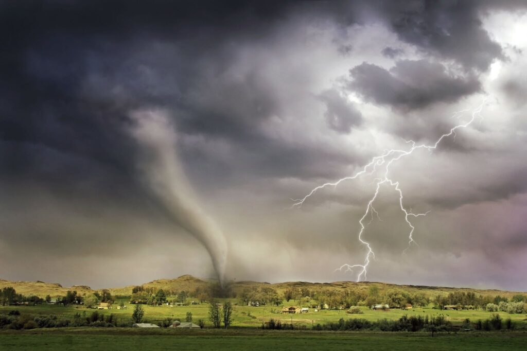
The pictures of the tornado that cut through Boscobel on Saturday are frightening. The National Weather Service says the tornado was an EF-3, with top winds of up to 160 miles-per-hour. No one was hurt in the storm, but the tornado did destroy six homes and 11 other buildings. Forecasters say the tornado was on the ground for about 10 miles. Grant County Emergency Management director Steve Braun says the storm also knocked out power and knocked down dozens of trees.
Volunteers flooded into Boscobel yesterday to help start cleaning-up. But no one is saying just how long it will take to get back to normal.


